

When living in pandemic becomes
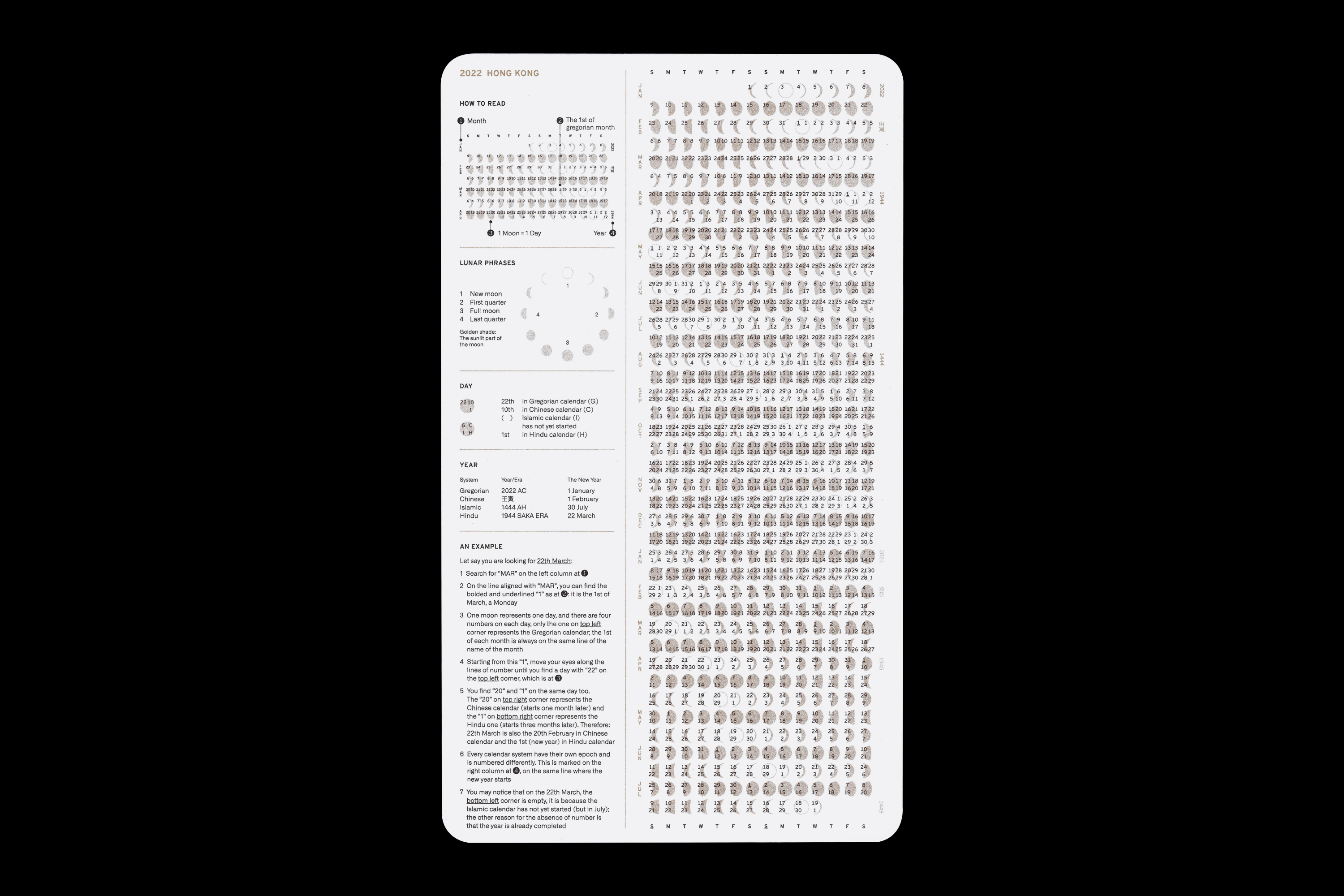
our new normal, one feels like the change of time is no longer marked by season or year but a shorter cycle called “wave”. I started to question how relevant are the format of daily objects to the contemporary context we are living in, and this multisystem is
my very first proposal
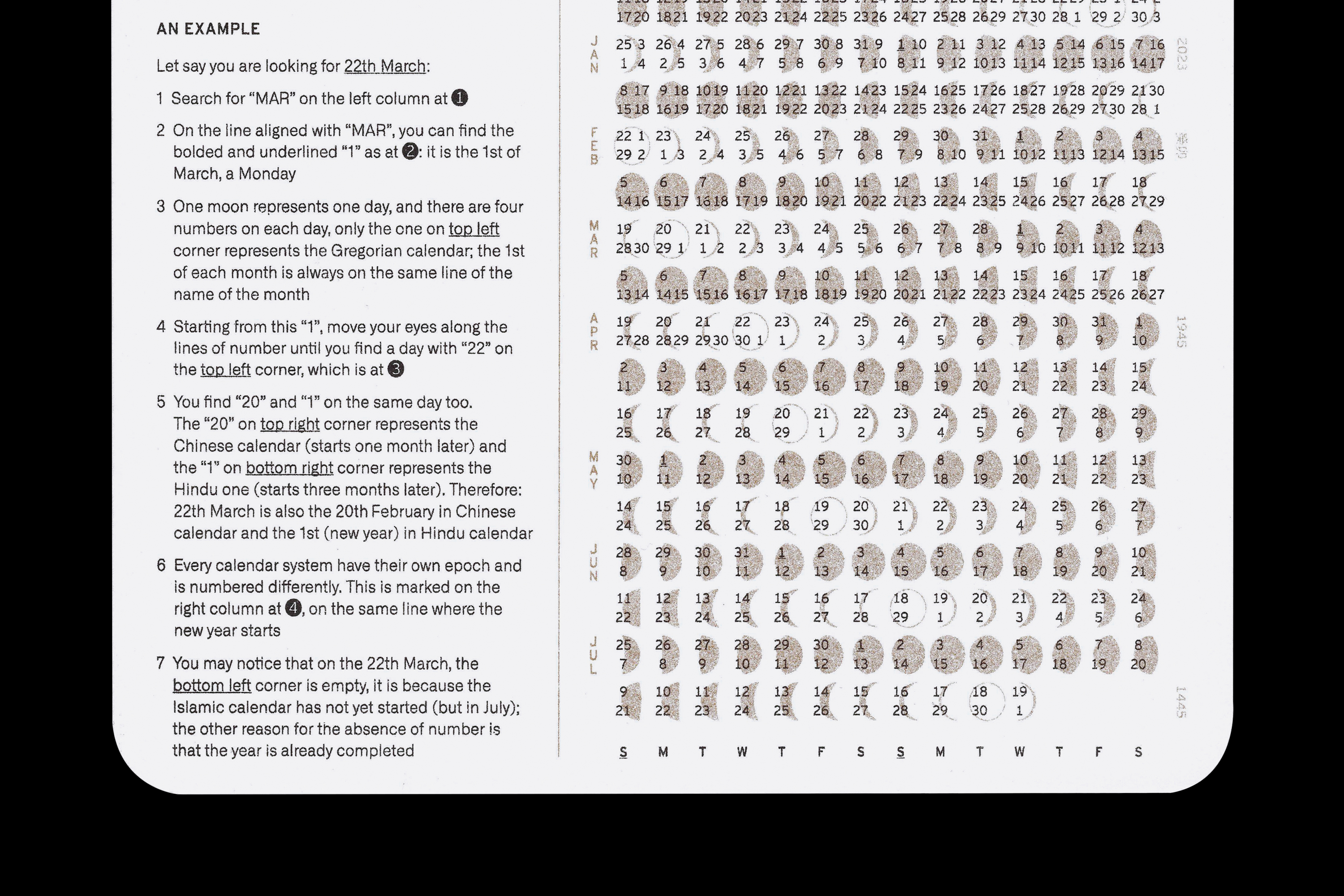
to it: to renew the compositing elements of a calendar and the visual representation of a so-called “year”.
The calendar integrates four sets of system used by different communities in Hong Kong—the Gregorian, the Chinese, the Islamic and the Hindu, unified by the moon phrases, all on one single sheet. In order to include the new year day of all four systems (like the Islamic one that starts in July), the calendar covers from 1st Jan 2022 to 19th July 2023.
For a city with 92% chinese population, the Gregorian and the Chinese one are commonly used together, while the other two play important parts in the religious and economic activities in the city. This complex chart emphasis the parallel presence of communities and their sense of time, which are a part of the historical development and the characteristics of the city that usually be neglected.
First sold in BOOKED 2021 artbook fair with Union Publisher, some copies are still available (you can drop me a message by email).
Risography print by flip and roll.
Sources of research: The Hong Kong Observatory, Islamic Union of Hong Kong, The Hindu Association.
Union Publisher in BOOKED 2021


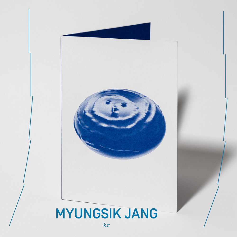
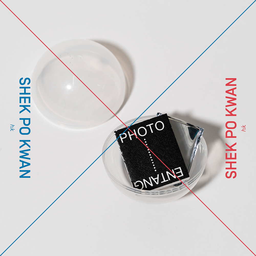
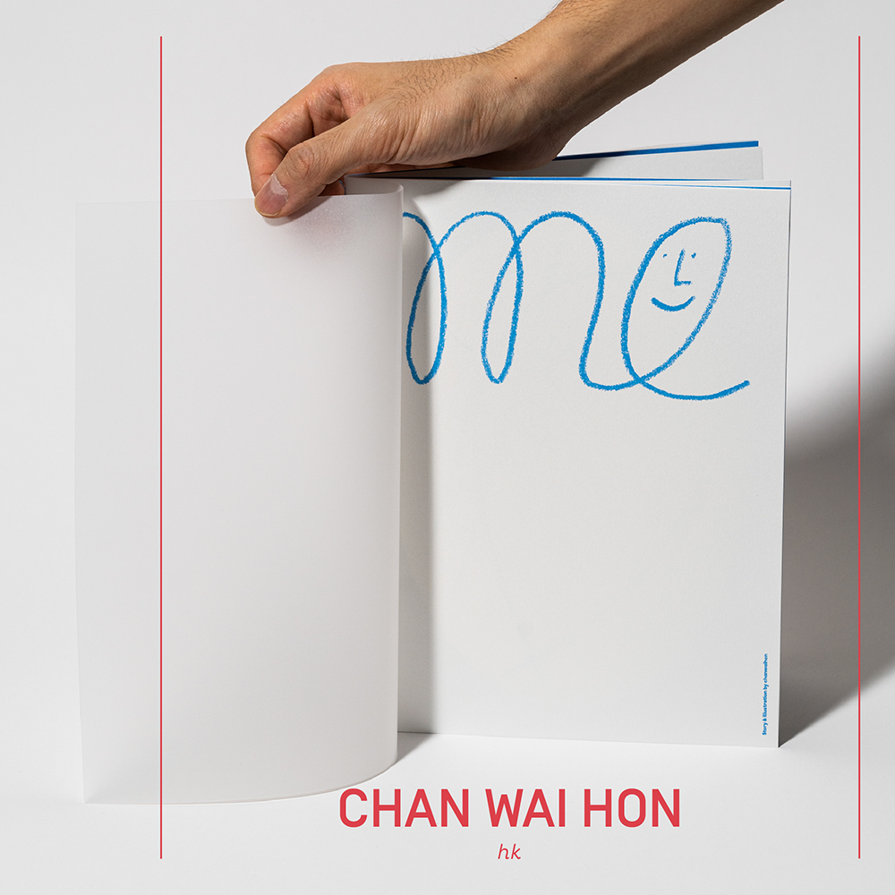
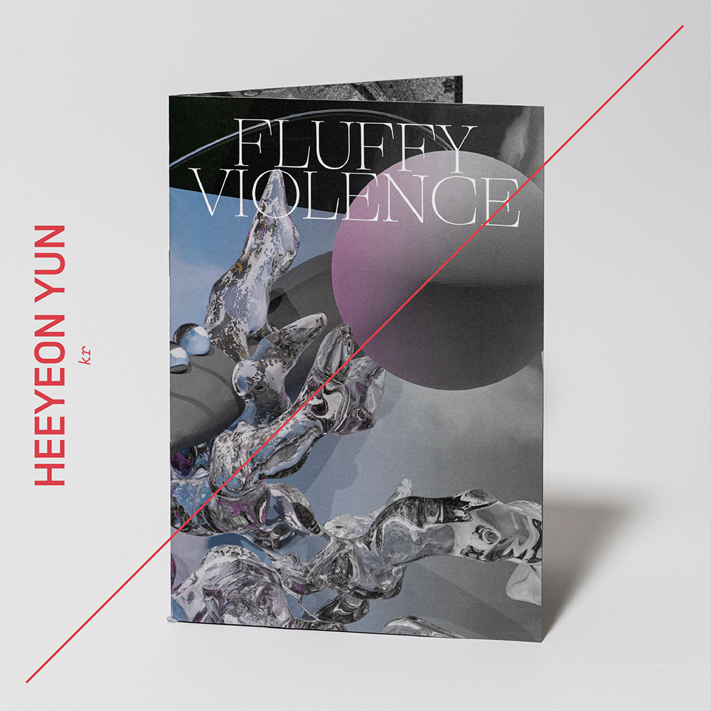

Social media graphics for the participation of
Union Publisher in
BOOKED 2021, artbook fair hosted by Tai Kwun Contemporary.
Photos by Shek Po Kwan.
Photos by Shek Po Kwan.
Crossing the Sahara: a route map
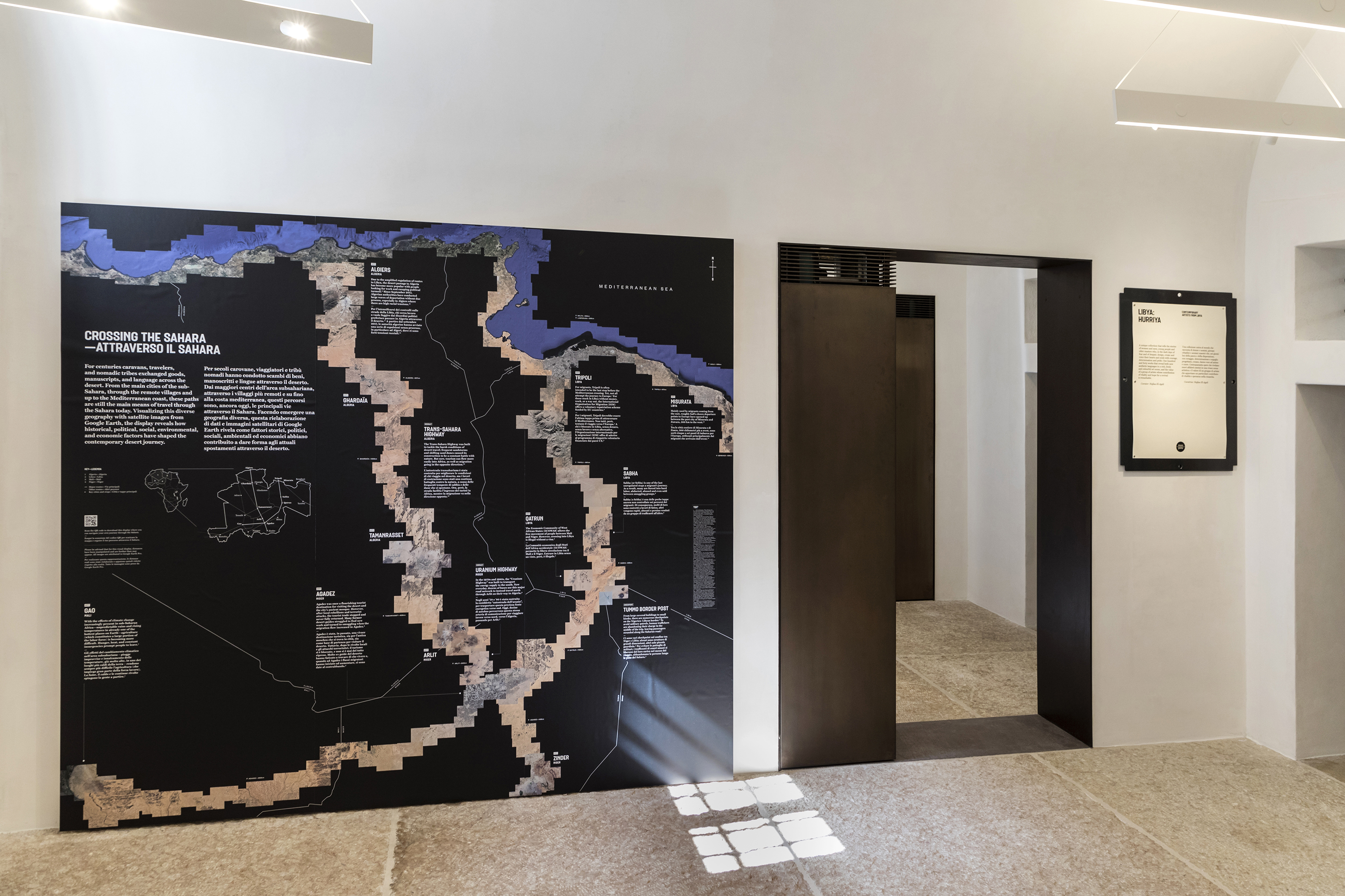


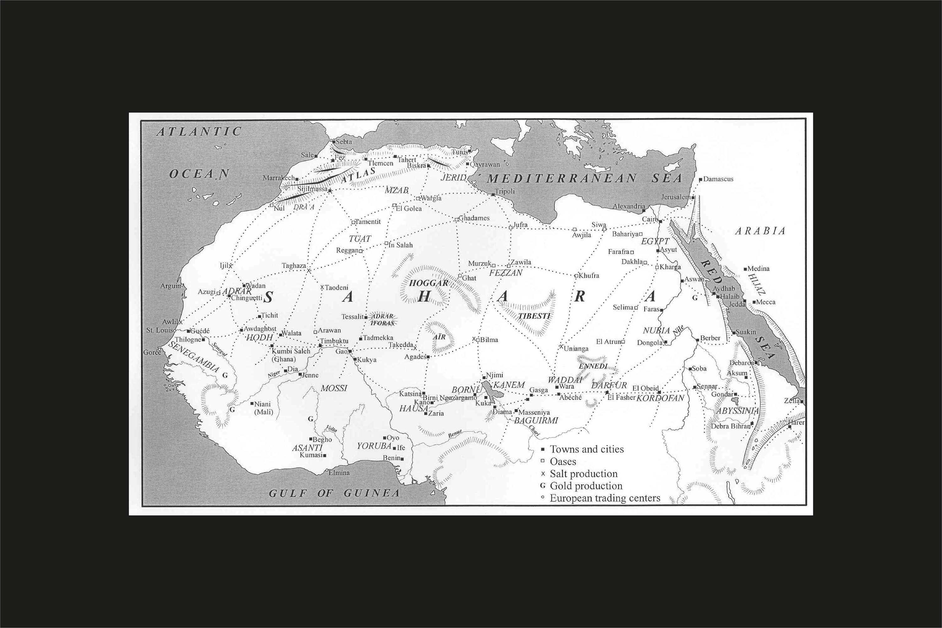

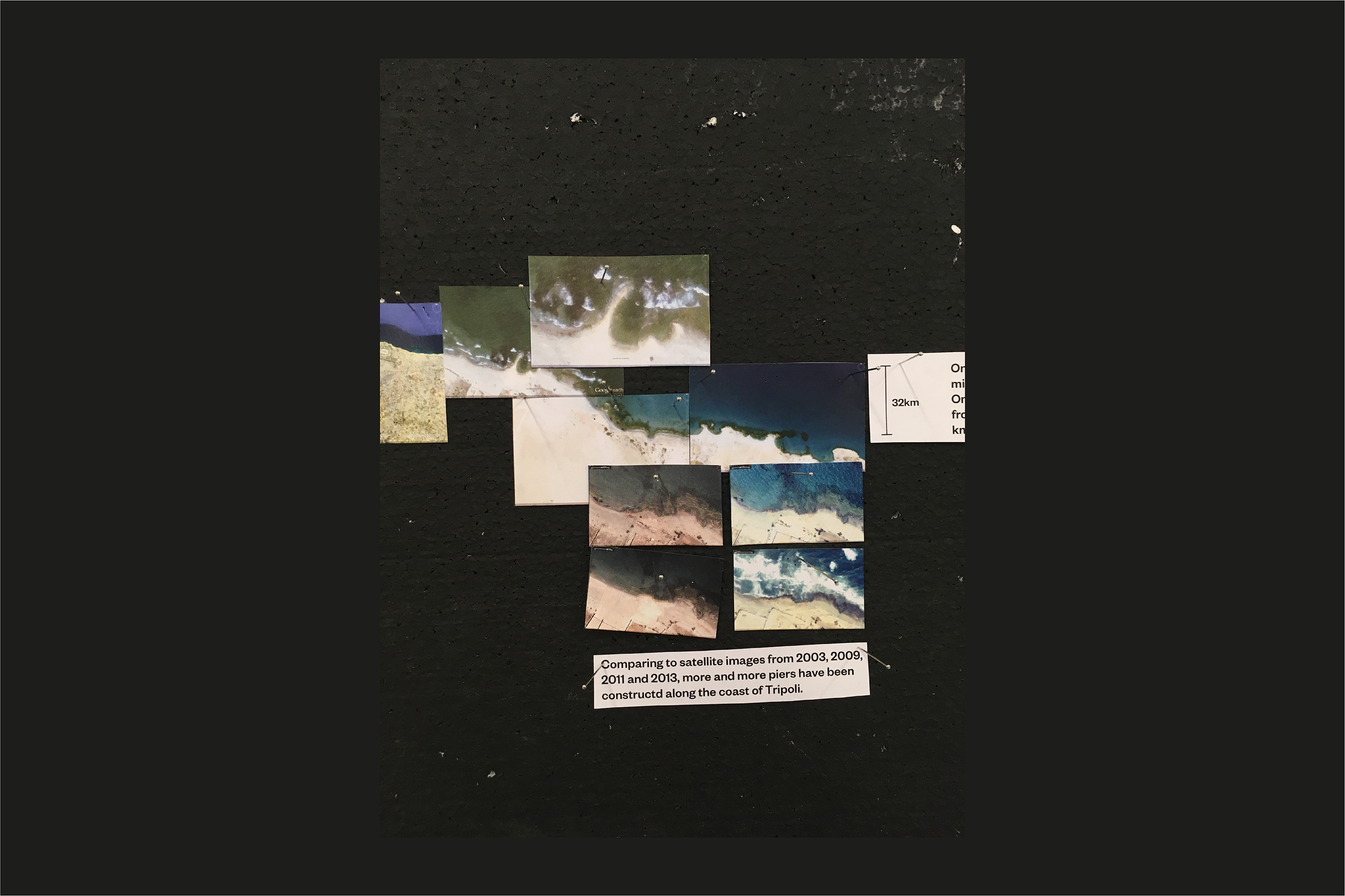
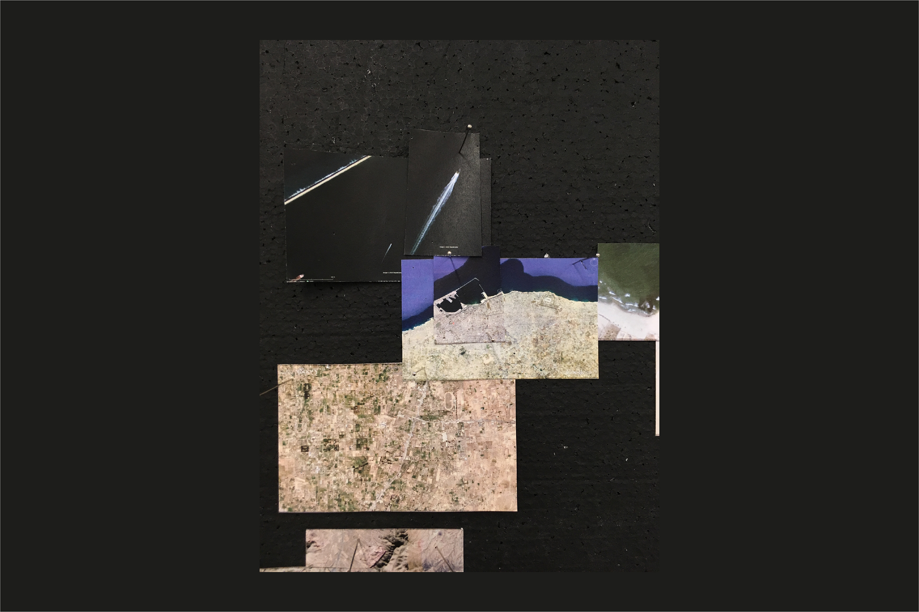

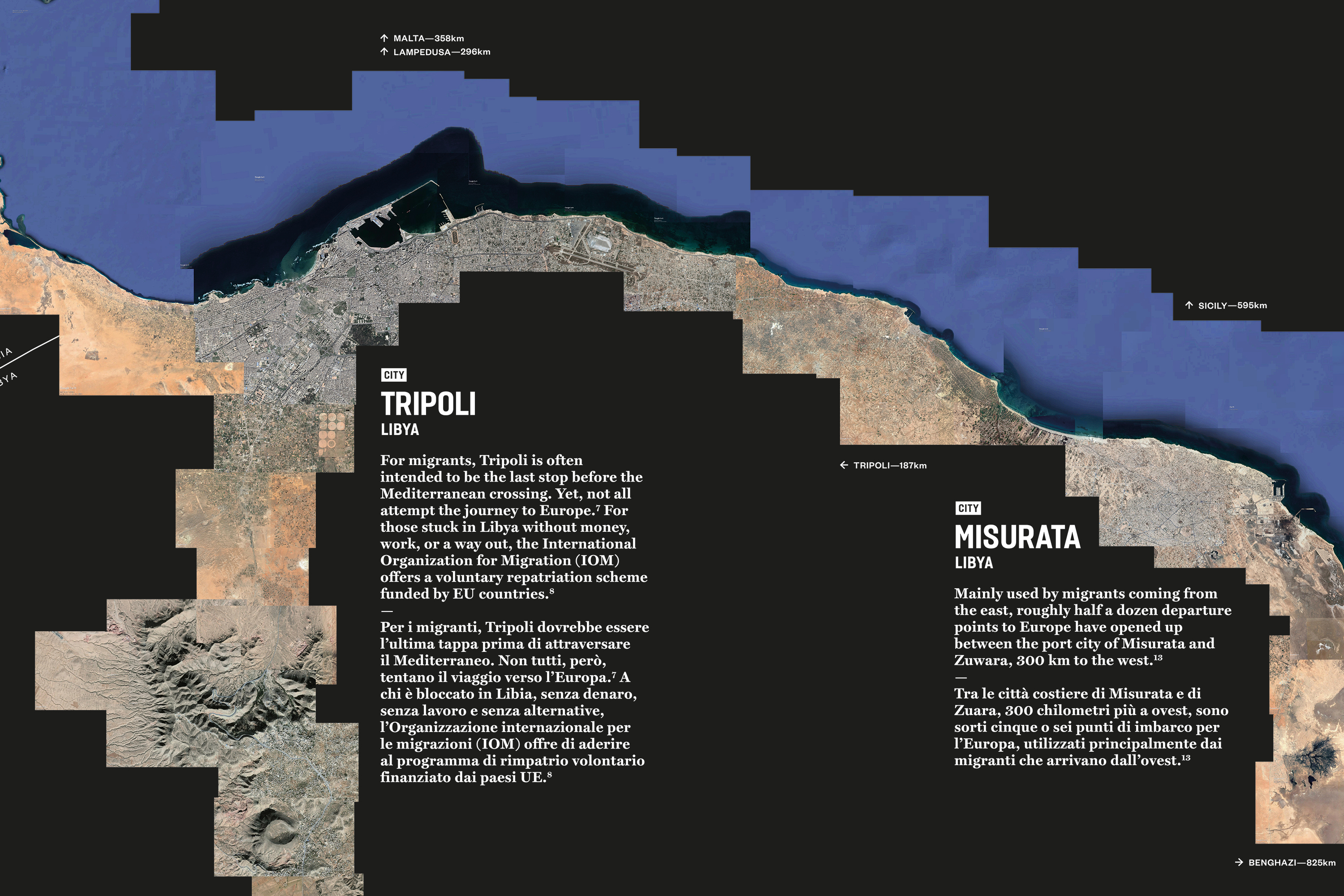
A visual investigation made for Gallerie delle Prigioni’s debut art exhibition, Sahara: What is written will remain, dedicates to the cultural heritage of the desert.
With the concern that the idea of Sahara might sound too remote for most of the exhibition visitors, an extensive study about today’s cross-Sahara travelling was undertook, in search of perspectives which could make the subject relevant to our living experiences. The result is this routes map placed right in the first room of the exhibition space.
From the information gathered from news articles and reports, a few commonly-used paths by the desert frequent travellers—African refugees, human traffickers, environmental migrants, international tourists and truck drives who work in uranium and oil fields—are reconstructed by around 400 satellite images from Google Earth.
As the curator wrote on this infographics: Crossing the Sahara Desert is an age-old phenomenon, for centuries, the trans-Saharan trade routes linked the Mediterranean and sub-Saharan Africa, where caravans, travellers, and nomadic tribes exchanged goods, manuscripts, and language across the desert. From the main cities of Gao and Agadez, through the remote villages of Ghardaïa and Qatrun, up to Tripoli and Algiers along the Mediterranean, these paths are still the main means of travel through the Sahara today. Visualizing the diverse geography with satellite images from Google Earth, this display reveals how historical, political, social, environmental, and economic factors have shaped the contemporary desert journey.
You can also check out the google map version here.
English writing and editing bySuzanna Petot;
Italian translation by Chiara Longhi and Giorgia de Luca;
Photos by Marco Pavan.
Poetic Boom Boom


Graphic design for exhibition Poetic Boom Boom, an exhibition about visual poetry.
This introduction panel borrows and transforms Dick Higgins’s Intermedia diagram into a glossary of the exhibition. It explains the art disciplines and artistic concepts demonstrated by the exhibiting artworks, and maps each of them to the corresponding participating artists.
Photos by Marco Pavan.
This introduction panel borrows and transforms Dick Higgins’s Intermedia diagram into a glossary of the exhibition. It explains the art disciplines and artistic concepts demonstrated by the exhibiting artworks, and maps each of them to the corresponding participating artists.
Photos by Marco Pavan.
Premio Scarpa 2019
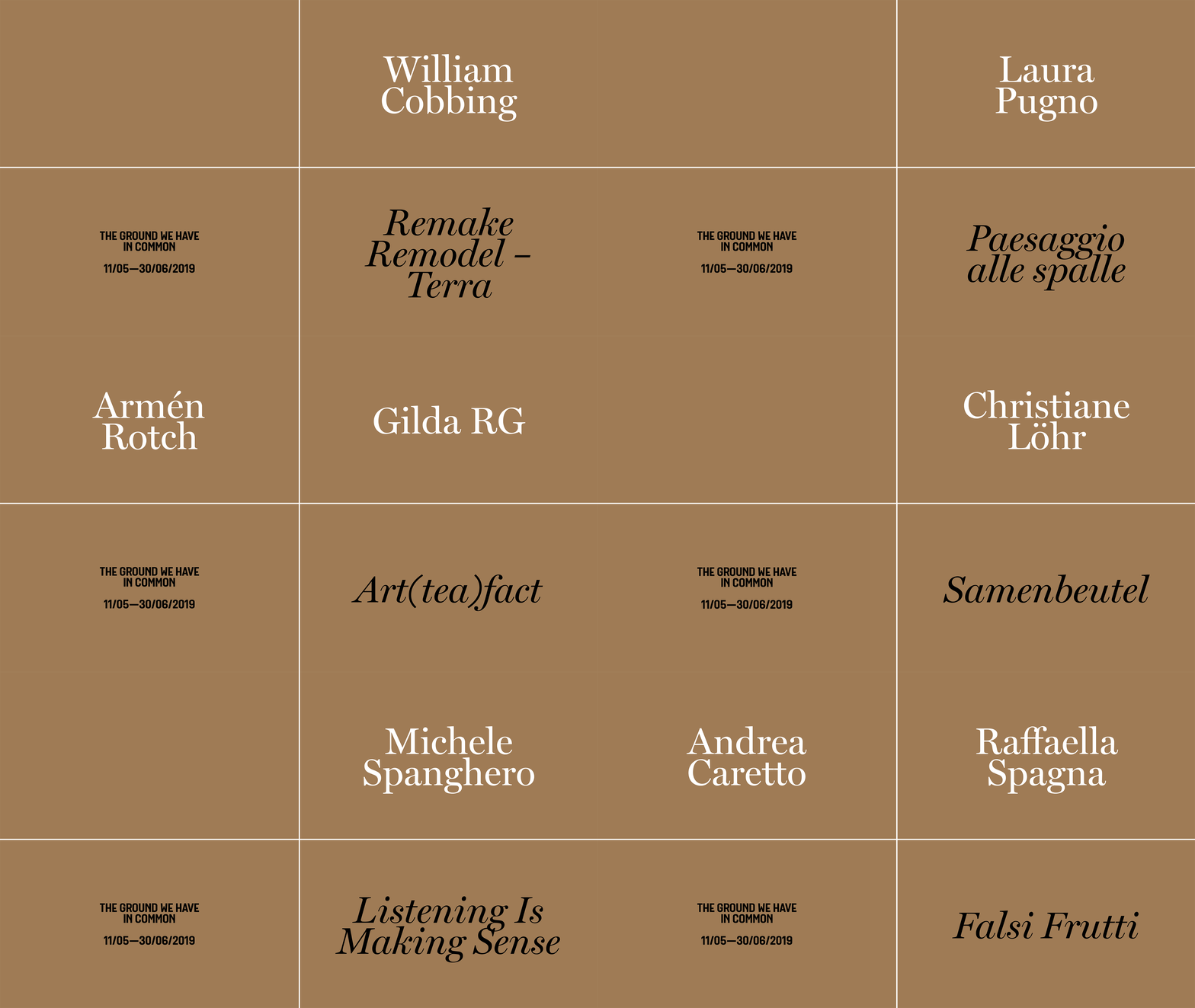
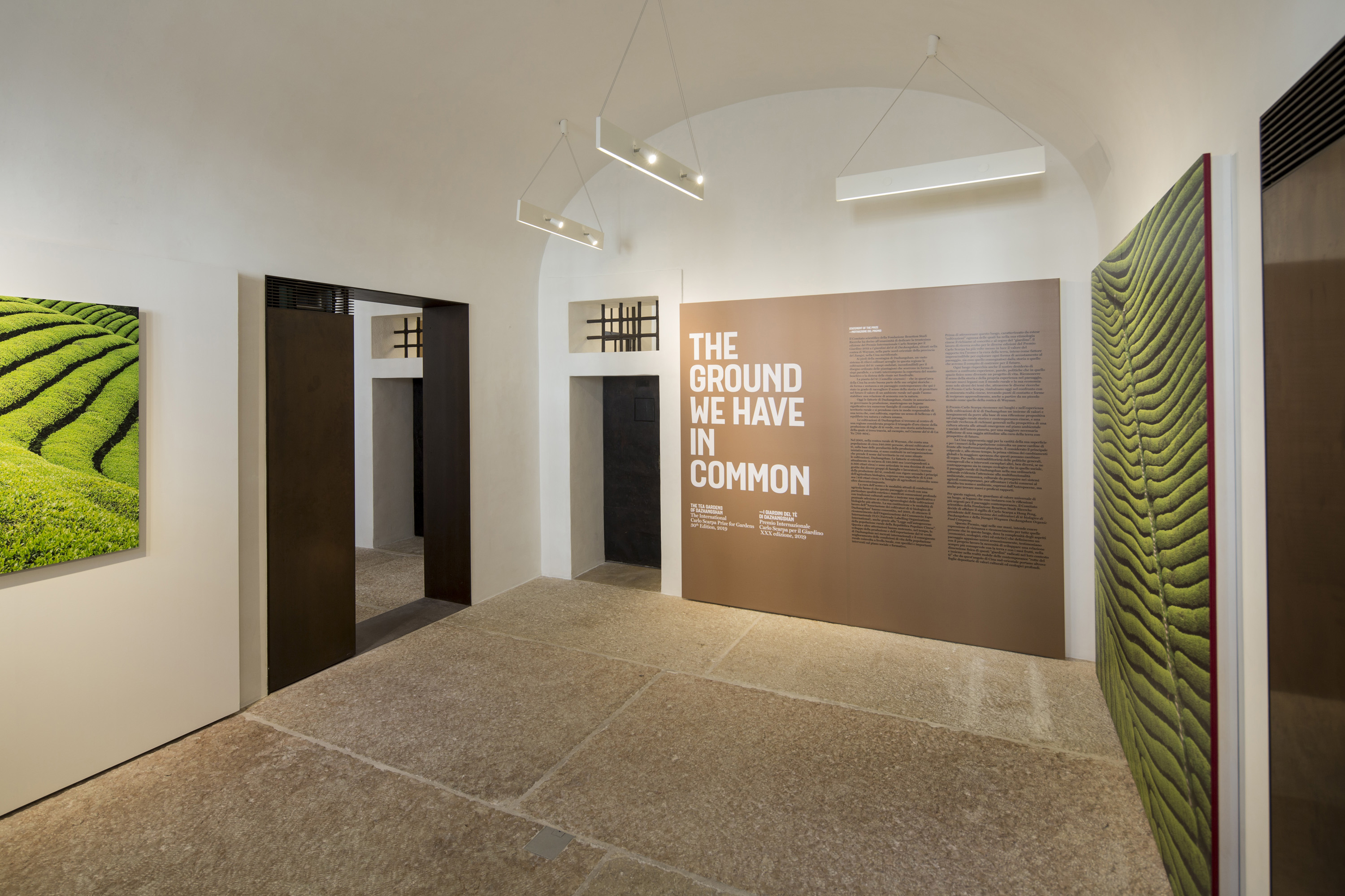
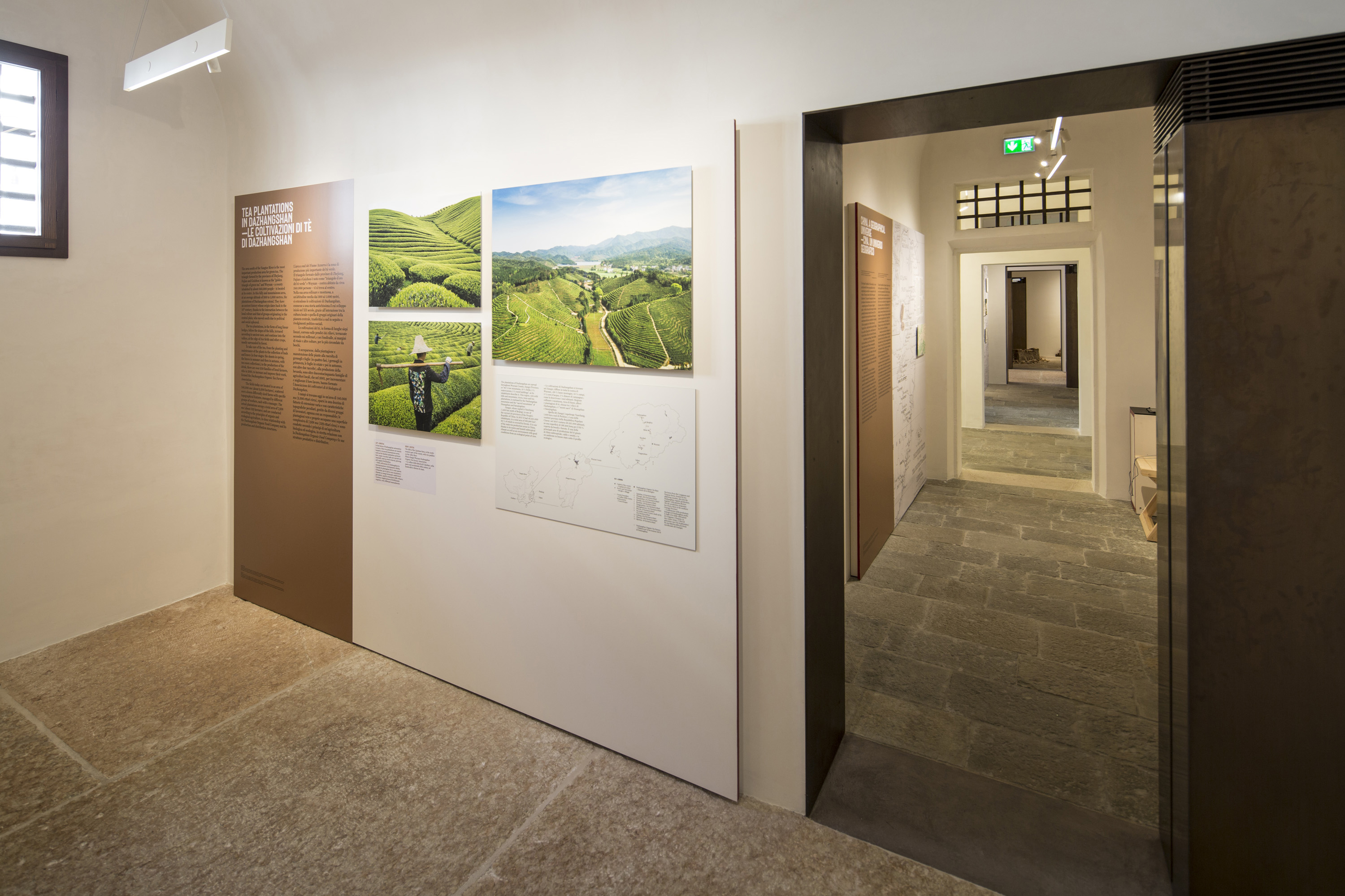

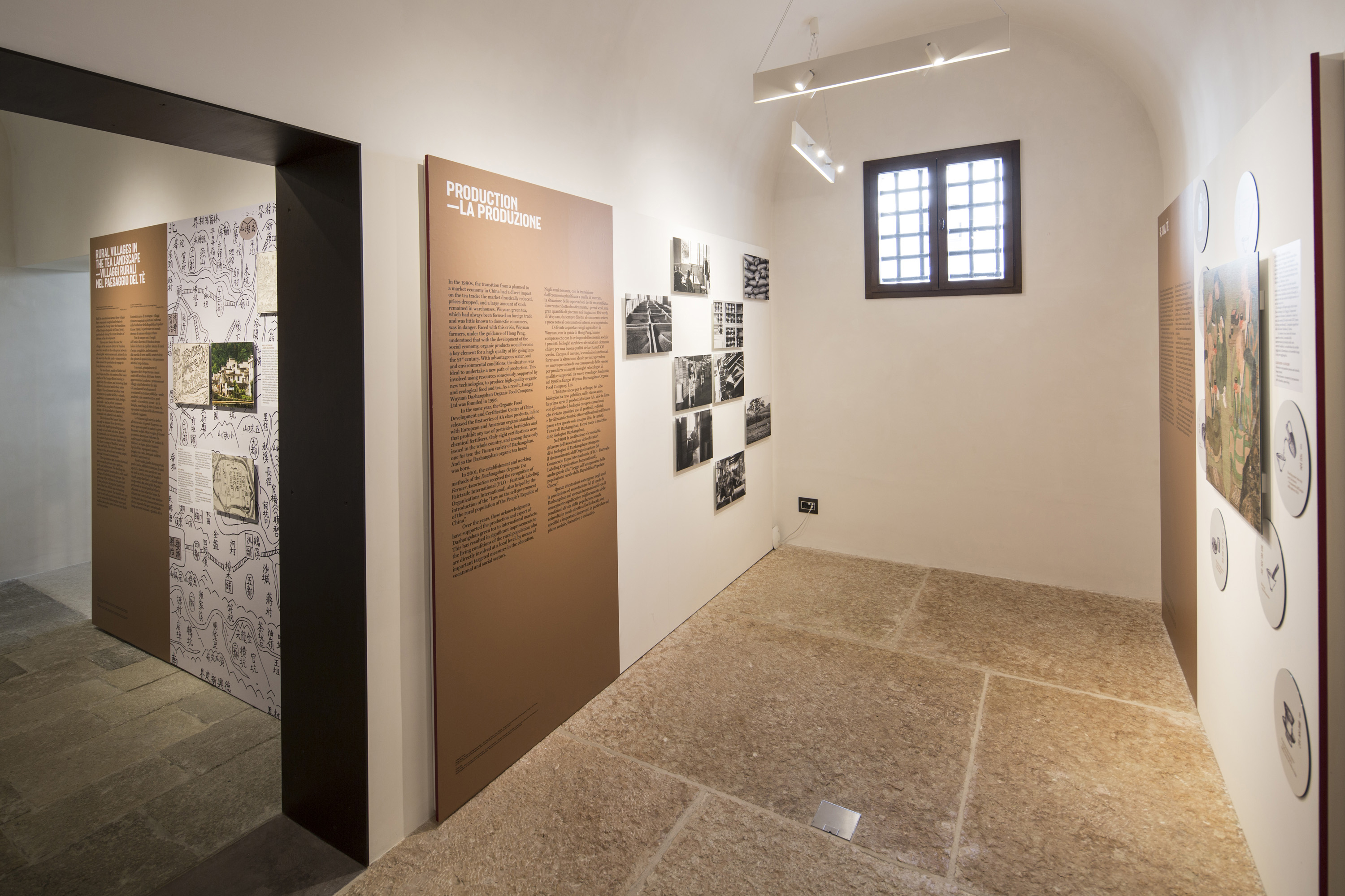
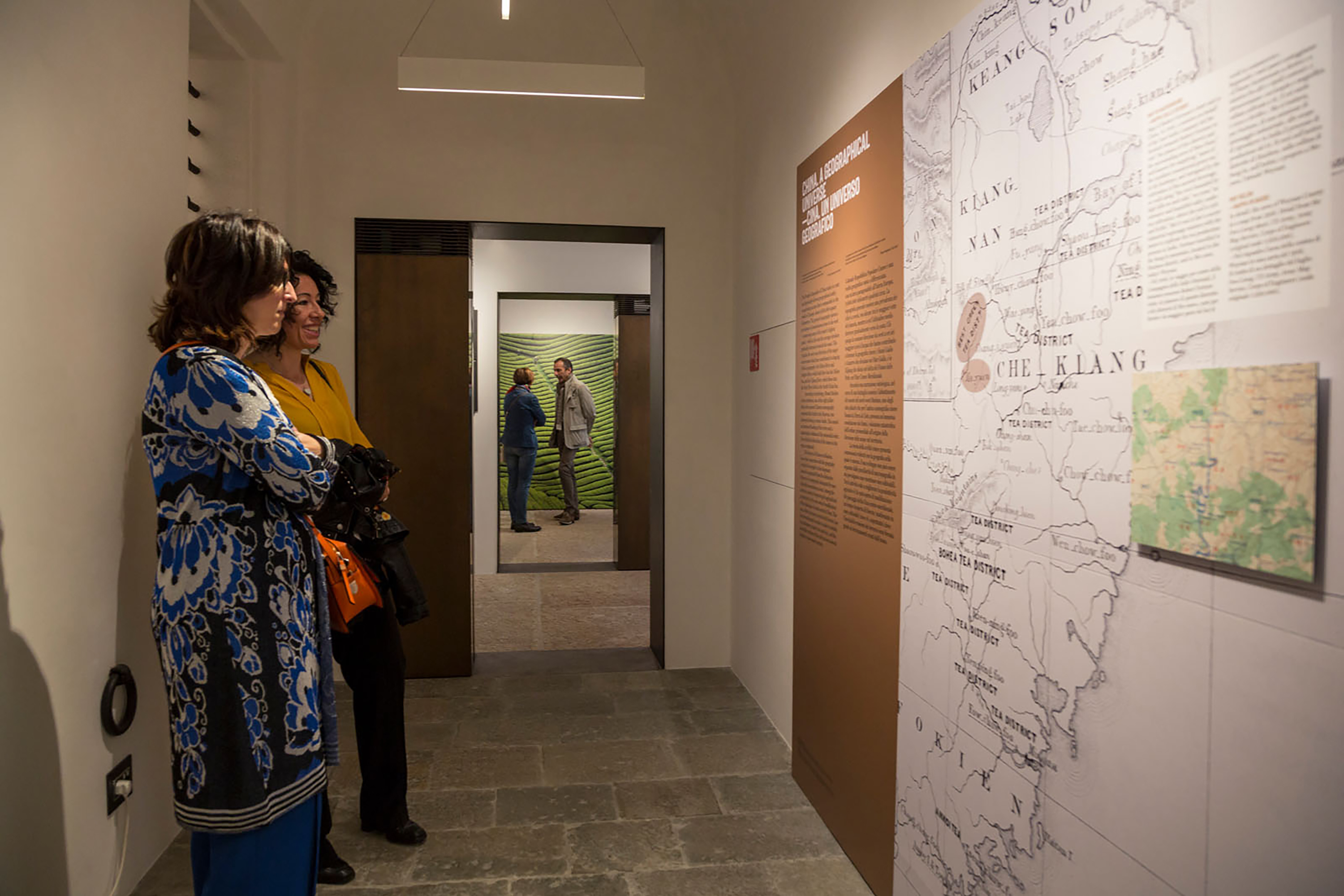
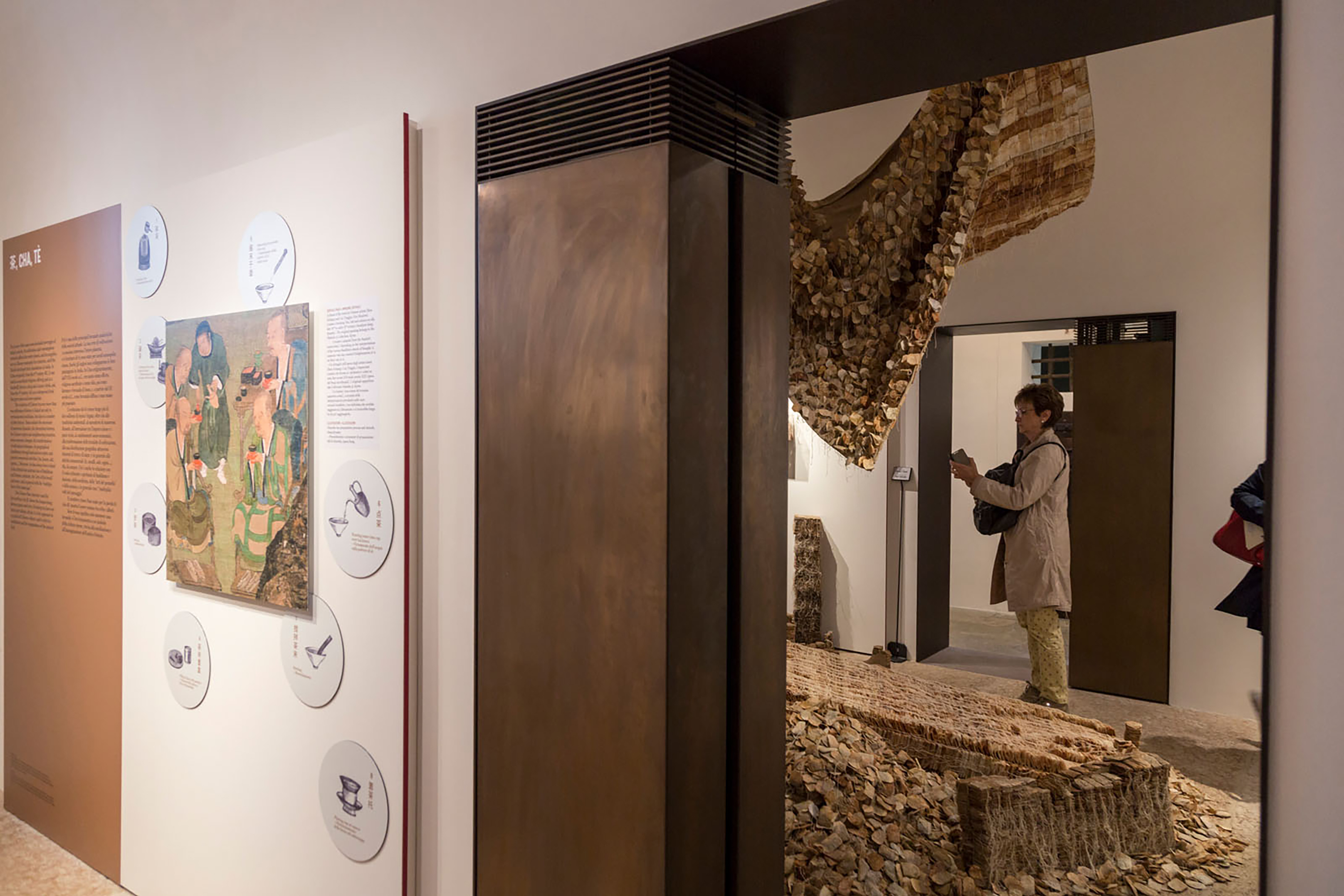


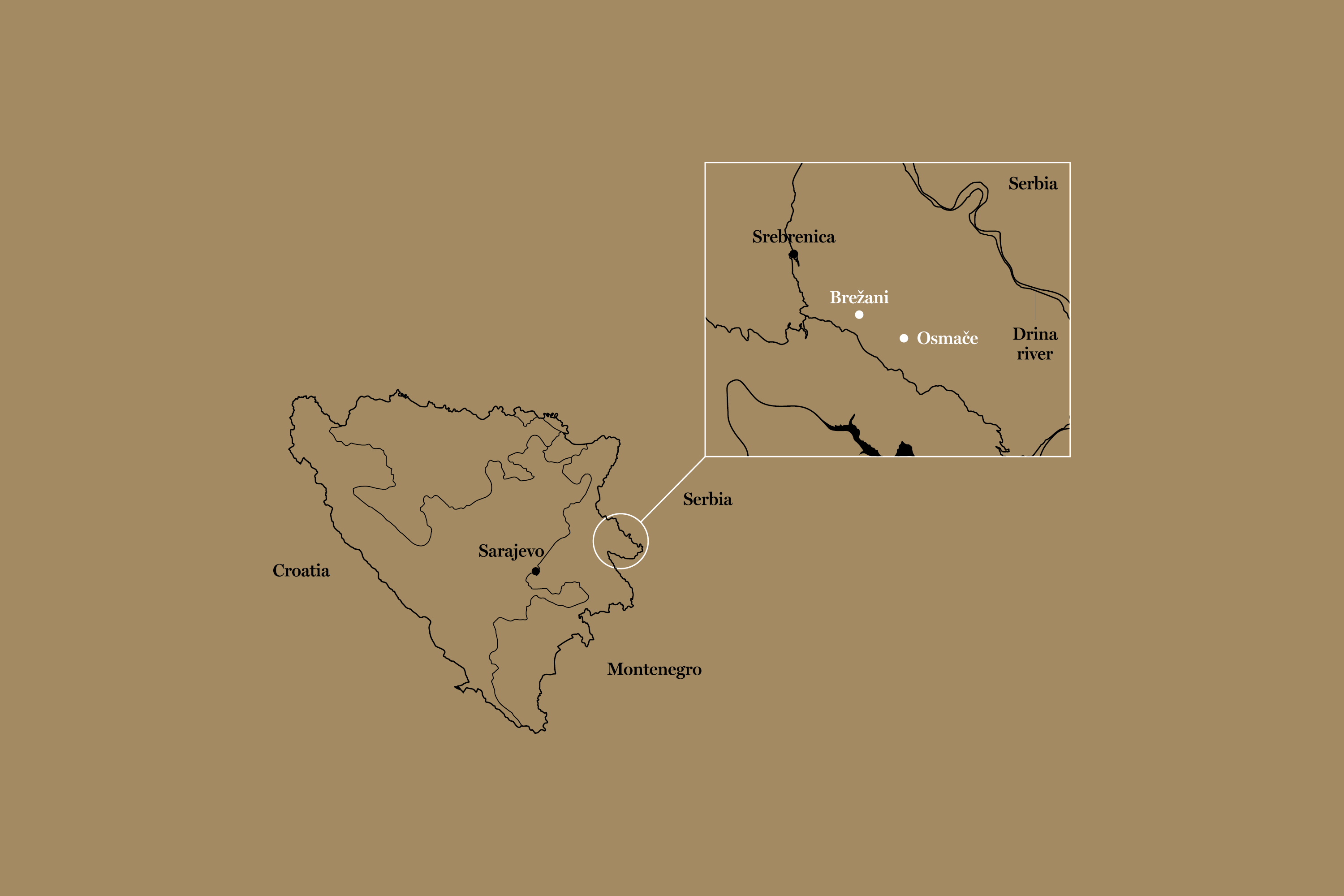
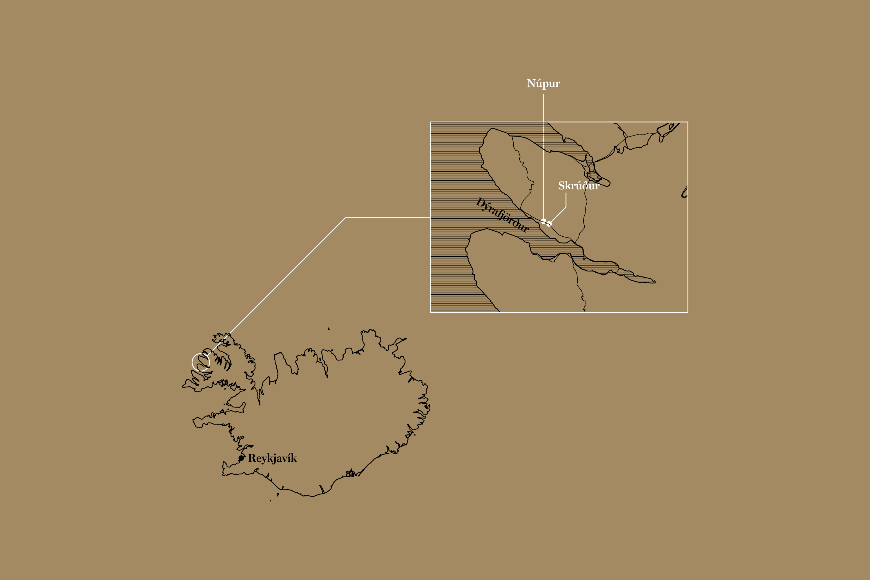
Presented together by Fondazione Benetton and Gallerie delle Prigioni, the exhibition The Ground We Have in Common celebrated the 30th edition of The International Carlo Scarpa Prize for Gardens, a campaign of studies for sites around the world which are particularly rich in natural, historical and creative values.
The exhibition composes of three parts: scientific research, 30 years retrospect of the award as well as contemporary art inspired by the awared garden in 2019. Information panels, maps, graphics for artist interview videos as well as social media are created to give the diverse range of content a unified look, together celebrating the awarded subject of the year: the tea garden in Dazhangshan, China.
Photos by Marco Pavan.